Here it is – the final installment of my blog series about Yosemite’s glaciers. Thank you for following and I hope you enjoyed the series! If you’d like to read the first three posts to this story, click here.
Kirk

October Glacier Trip
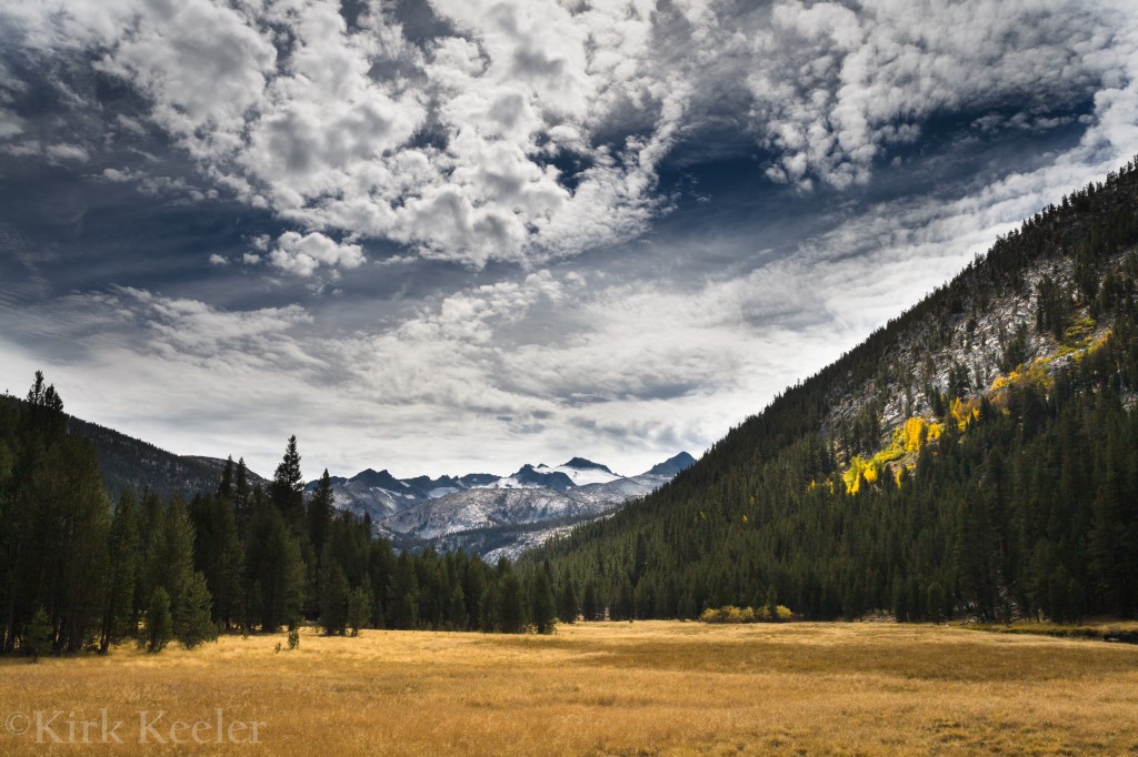
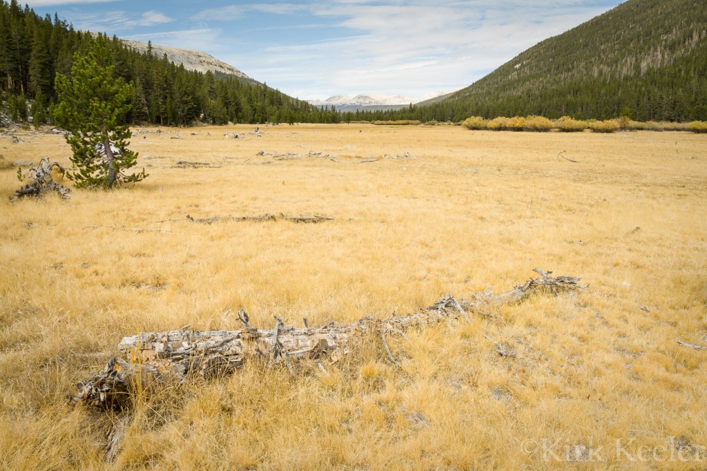
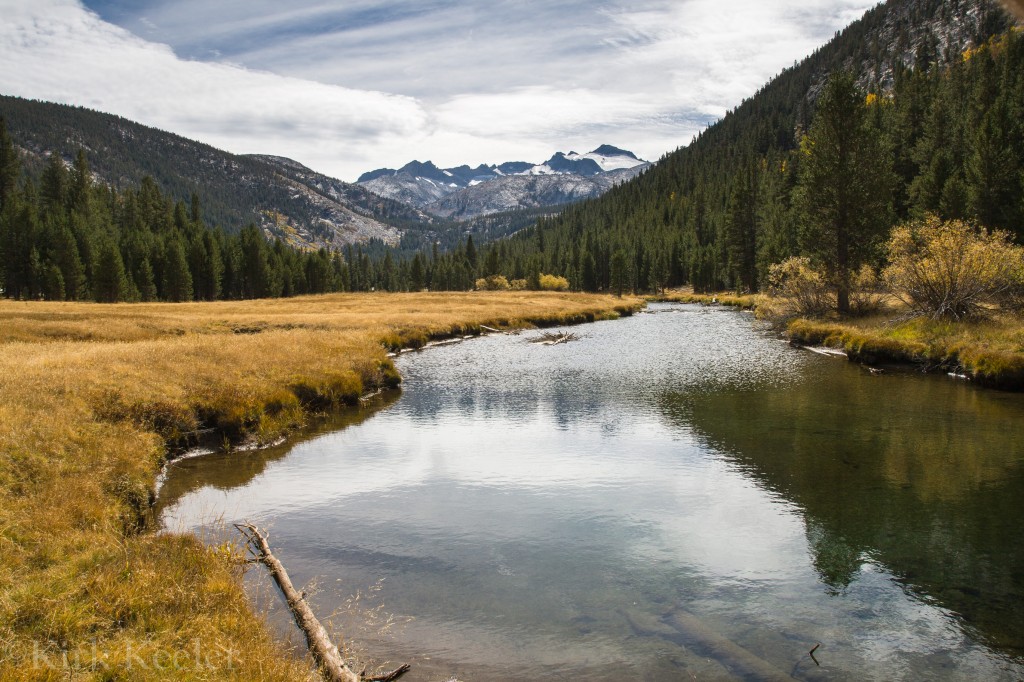
The first weekend in October found me again, hiking the long trail from Tuolumne Meadows through the beautiful Lyell Canyon. My destination – The fourth and final encounter of this year, with Yosemite’s remaining glaciers. I decided to hike ahead of the survey team for this trip; partly to experience the hike solo, but also to have additional time to photograph places along the trail I had been wanting to connect with—and had spotted on previous trips. It was a beautiful day! I stopped several times for photographic opportunities. Below, I think, exemplifies early fall in Yosemite’s high country.


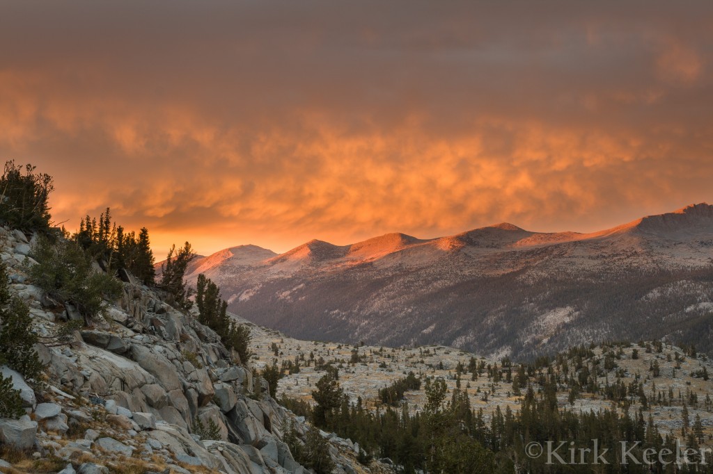
I met up with the team later in the afternoon and we headed for our previous campsite during the September survey. Volunteering for this trip was Greg Stock’s wife Sarah Stock, Brian Whitehead, Matt Holly, Jessica Thompson, Jen Jackson, and Dustin Garrison. Arriving to camp before dinner gave us plenty of time to set up camp, eat, and watch one of the Sierra’s finest light shows!

This trip was simply to get one more velocity measurement from the stakes in both glaciers, then take the stakes out and complete the four-year study. We headed for the Maclure glacier first. Freezing night temperatures helped keep the stakes in place, which made for easy measuring and removal (except for two stakes frozen in the ice). Again, the weather was very good, so working during the day was a pleasure and sleeping at night was very restful.
For this trip, I could only work until noon on the first day. I had been monitoring the development of the fall leaf color progress on the eastside and thought it might peak during this same weekend; thus, the plan was that I would leave the glacier trip a day early. Greg and I connected after the weekend and he informed me that measurements on the Lyell Glacier were equally easy as on the Maclure.
If you read my previous blog, you will remember that I have initial findings from the survey that Greg Stock said would be appropriate for me to share and publish here. Here they are! First – the good news. A recent correspondence with Greg revealed current velocity measurements of the Maclure Glacier: “The Maclure Glacier moves about 22 feet per year, with somewhat faster motion in the summer than in the winter. Our August-October measurements were indeed very similar to Muir’s, with about one inch per day of movement.” Greg added that he and geologist Bob Anderson (the other part of the study team on the survey) are puzzled by the movement because the glacier is 60% smaller than the 1872 Muir study “with about 120 feet of vertical ice loss”. The glacier is still moving and during our July trip, a few of us heard and felt the glacier’s bass-like creaking and popping sounds that seemed to indicate that movement was occurring underneath our feet – somewhat unsettling sounds when on the glacier!
By contrast, the data collected from the Lyell Glacier tells a very different story. From July – October, Greg’s velocity measurements showed that the Lyell had no movement…at all! Even with the Lyell’s larger surface area, making it visually the largest glacier in the park (and one of the largest in the Sierra), the data suggests dramatic change. I’ll remind you once again that in order for a glacier to be called such, it needs movement. It must have enough mass to keep that movement going and continued formation of ice to maintain the previous two. The recent survey’s numbers were also gathered during a season in which a Sierra glaciers’ movement would be the greatest – during the summer months (as Greg stated above).
All the Lyell’s information puts Yosemite National Park’s first appointed geologist to the task of what to call the large ice structure below the northern slopes of the highest peak in the park. As I write this, Greg is writing his report on the four-year glacier study, no doubt checking over the stats once more and finalizing his conclusions. Computer models will be created to help interpret the data more easily to park service officials and the public. “One thing is for sure”, Greg points out during one of the survey trips, “The news that’s revealed from this will be big!” Greg has the report’s tentative finish date sometime in early 2013.

Being the 2012 glacier survey’s regular photographer was exceptional! Not only did I get to travel to one of the most beautiful places in the park, but the opportunity helped to augment my photography skills. This was the first time I had the chance to document an event, in addition to creating artful photographs. As seen from my website’s portfolio – there are no humans in my photographs. It was great to test this new territory. I learned a lot and perhaps this is only the beginning. I am also eternally grateful to Greg Stock for allowing me the chance to be a part of this historic survey. Not only have I gotten to know him better, but I got to meet many volunteers who, like me, share a fascination of glacial geology and wanted to know first-hand what is going on with Yosemite’s glaciers. Meeting Colorado University, Boulder’s Bob Anderson was equally great, as he had much additional glacial information and enthusiasm to share.
It is also important to note that this isn’t the only recent study of Yosemite’s glaciers. Hassan Basajic studied many of the Sierra Nevada glaciers and wrote an impressive report on his findings, which you can read here. Of considerable interest for me was Hassan’s use of comparing old photos of the glaciers with his new ones taken in the exact location of the old photos to show visual evidence of the glaciers’ retreats.
I can’t speak for all who participated, but I can say that this experience not only informed me of the current conditions of these ice formations, but it has helped me see the direct effects of climate change in my back yard. For me, climate change is now more real than ever. Learning the truth about these glaciers is emotional. I feel a profound sadness for the loss of these incredible moving bodies of ice. For now, I can say, “At least the Maclure is still moving”. But, for how much longer? Perhaps I can take comfort in the fact that the Sierra glaciers have been growing and retreating, disappearing and reappearing throughout the range’s history. Maybe, thousands of years from now, the very spot I write this from in Yosemite Village will once again be under meters of ice, experiencing the day-to-day ablation of yet another glacial period; erasing any signs of The Ansel Adams Gallery, the scoured Ahwahneechee acorn grinding stones, and possibly even the vertical walls of Half Dome and El Capitan.
The future remains to be seen.
For now though, I have witnessed first-hand and documented through my camera, another diminishing ecosystem caused by our present-day, human-caused, warming planet. How will this affect all the species, including us, who rely on this resource? Maybe I should be happy for experiencing these glaciers while they are still here; believe me – I am! Yet, as I look to the future and ponder the National Park Service’s Mission Statement, “… to conserve the scenery and the natural (my emphasis) and historic objects and the wildlife therein and to provide for the enjoyment of the same in such manner and by such means as will leave them unimpaired for the enjoyment of future generations.”, I am left with an emptiness that the coming generations will experience a Yosemite impaired; a Yosemite without glaciers. A Yosemite wilderness not mismanaged by its faithful and evolving National Park Service, but by forces much larger than itself—forces that are collective and know no boundaries.
Sporting three external antennas, this TP-Link wireless router provides a huge network coverage area for a very reasonable price. Providing up to 1200 Mbps dual band WiFi, it’s a very solid router when it comes to video streaming and online game play.